Satellites from the National Aeronautics and Space Administration (NASA) will soon point their cameras at West Tennessee to better understand and protect the area’s drinking water.
Protect Our Aquifer (POA) teamed up with NASA for a research project starting this month to monitor the recharge zones of the Memphis Sand Aquifer. The project is part of NASA’s DEVELOP program at the Jet Propulsion Laboratory to address environmental and public policy issues through Earth observations around the world.
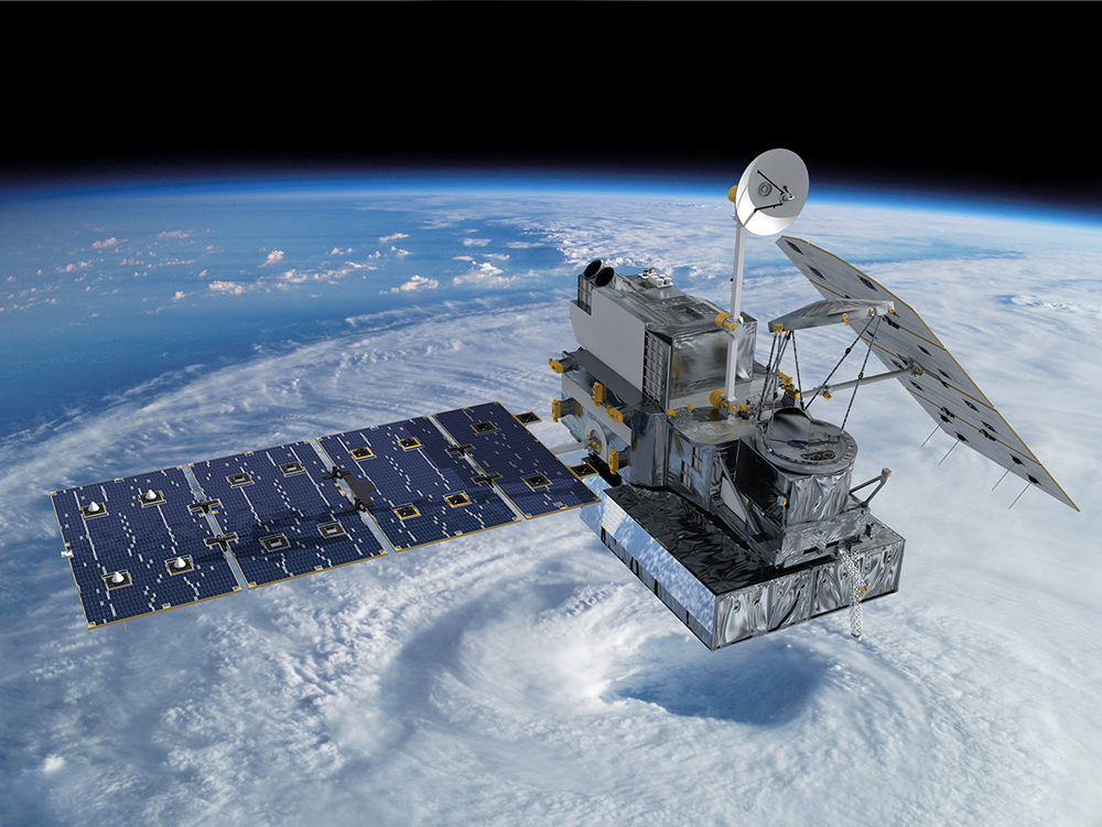
NASA will employ its Global Precipitation Measurement satellite, another tool from the International Space Station, and more to study the recharge zone, which spans 12 West Tennessee counties. The study hopes to find “hot spots,” where more water enters the recharge zone, and, then, to protect those hot spots.
These areas are important to a water system that supports more than 1 million people and industries, companies, and farms. These zones are where rainfall directly replenishes the aquifer.
“We have a valuable collection of remote sensing acquisitions, and we are excited to use this data over the Memphis Sand Aquifer to guide stakeholders,” said project adviser Kerry Cawse-Nicholson of the Jet Propulsion Laboratory.
The study will last five months, and findings are due this summer.
We caught up with POA executive director Sarah Houston to talk about the project. How do they hope to use the information and how could it inform development in the region, especially around Ford Motor Co.’s Blue Oval City to built be close to these recharge zones?
Memphis Flyer: How did this collaboration with NASA come about?
Sarah Houston: It was actually through a Rhodes College graduate Erica Carcelen [project manager for the NASA DEVELOP program]. She had heard of Protect Our Aquifer and our work and is now working at NASA full-time. She reached out to us to apply for a program that pairs new hires with NASA with seasoned scientists to do really applied science research projects to take a lot of this information and available tools and apply it to a community need.
What do you hope to learn?
We are hoping that we can get a sense of these new technologies that can be applied to understand the aquifer system, not only for this study but future studies. This is the first time these satellite tools have been used for a study like this here.
We are hoping to get a sense of where our recharge zone hot spots are. Where the sands come to the surface, that’s where our water supply is being sustainably replenished.
We don’t want to pave over the recharge zone. So, we’re hoping to find specific areas that are our hot spots where more rainfall is directly re-entering the system compared to others. Those areas, we know, are very important for our water sustainability portfolio.
How do you hope to use the information?
This is going to be helpful, not only as Ford actually develops their property, but it will also be informative for the broader region as we start to see more development, like suburbs coming up. If there are areas that are really important to recharge, could those be conserved? So, how do we still grow the region sustainably and use best management practices as we’re building out these communities?
